
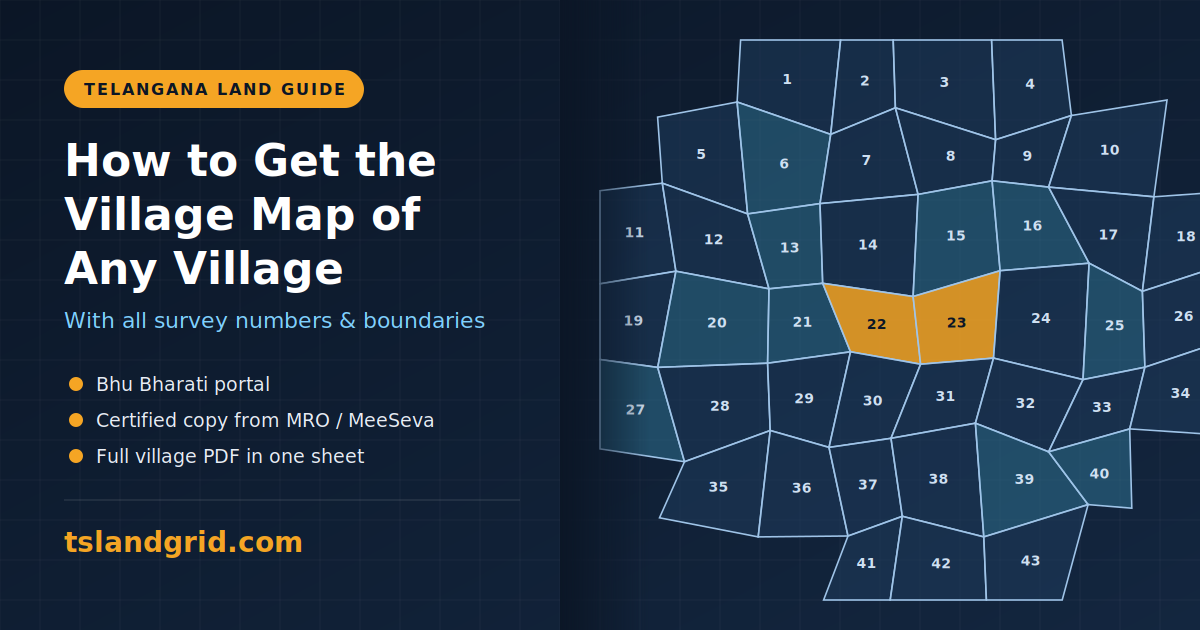
Whether you are buying a plot, checking a boundary dispute or planning farmland, the village map is one of the first documents you need. It shows every survey number in a village, how the parcels sit next to each other, and where government land, roads and water bodies fall. Here are the three main ways to get one in Telangana.
What is a village map?
A village map, also called a cadastral map, is the Revenue Department’s master diagram of an entire village. It shows all survey numbers and their boundaries on one plan. It is different from a Tippon (survey sketch), which shows the measurements of a single survey number in detail. The village map shows the whole layout; the Tippon zooms in on one plot.
Option 1: View it free on the Bhu Bharati portal
Since 2025, Telangana’s land records have moved from Dharani to the Bhu Bharati portal (bhubharati.telangana.gov.in). To view a map:
- Open the official Bhu Bharati website.
- Go to the maps or cadastral map section.
- Select your district, mandal and village.
- Search by survey number to see the parcel on the map.
- Use the print or download option on the map toolbar if it is available.
This is free, but the portal usually shows maps one survey number or one sheet at a time. Seeing the full village together can mean collecting and joining several sheets yourself. Menu names on the portal also change from time to time.
Option 2: Get a certified copy from the MRO or MeeSeva
If you need the map for legal, court, bank or official use, you need a certified copy. Apply through your Mandal Revenue Office (MRO), the district survey and land records office, or a MeeSeva centre. Government fees apply, and delivery can take several working days. Only a certified copy is valid for legal and official proceedings.
Option 3: Download the full village map as one PDF from Telangana LandGrid
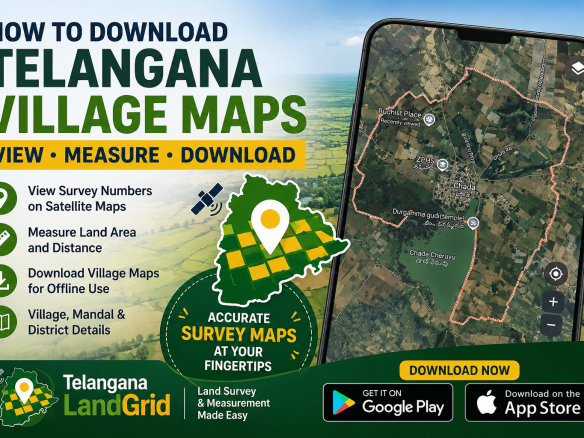
If you want the whole village on a single printable sheet for reference, Telangana LandGrid’s village map service lets you pick a district, mandal and village and download a high-resolution A3 PDF showing every survey number and boundary in that village. The price depends on how many survey numbers the village has, starting at Rs 600, and the PDF is delivered instantly on screen and by email. You can preview a free sample map before buying.
This is useful for land buyers, real estate agents and farmers who want to see the full layout of a village at a glance, mark plots of interest, or compare neighbouring survey numbers before visiting the site.
Note: LandGrid maps are for reference only and are not affiliated with the Government of Telangana. For legal, judicial or revenue purposes, always obtain the certified village map from your MRO.
Which option should you choose?
- Quick check of one survey number: Bhu Bharati portal (free)
- Legal, court or bank use: certified copy from the MRO or MeeSeva
- Full village on one printable sheet for planning: Telangana LandGrid PDF
Before buying any land, cross-check the village map with the Pahani (Adangal), the Encumbrance Certificate and a physical survey of the plot.


Join The Discussion