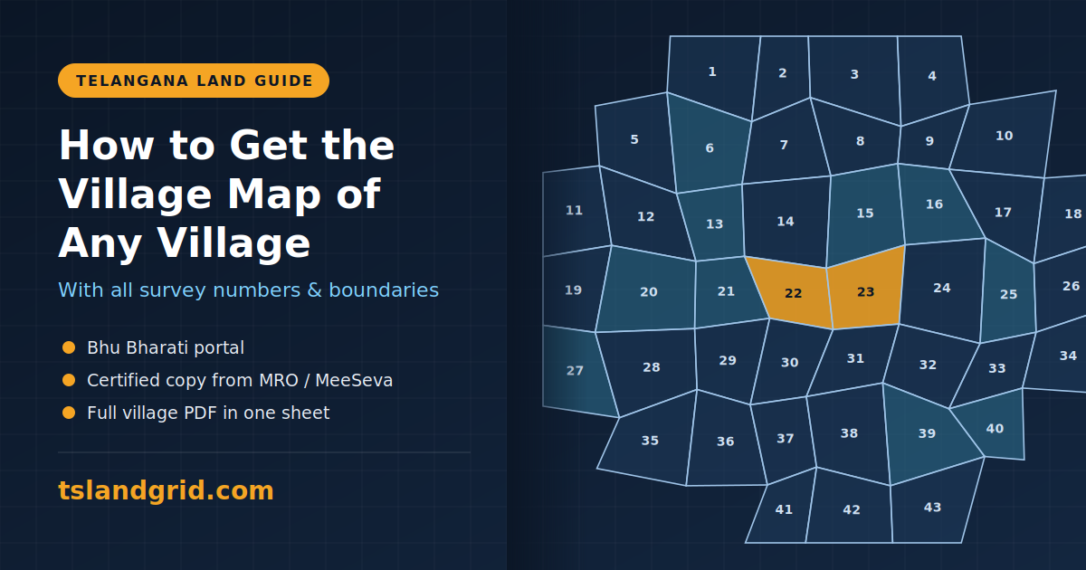
Whether you are buying a plot, checking a boundary dispute or planning farmland, the village map is one of the first documents you need. It shows every survey number in a village, how the parcels sit next to each other, and where government land, roads and water bodies fall. Here are the three main ways to get one in Telangana. What is a village map? A village map, also called a cadastral map, is the...
Map
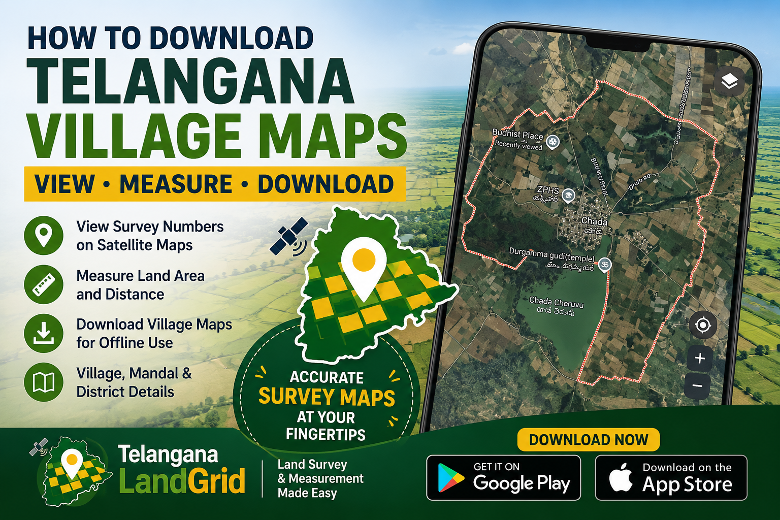
Residents, farmers, surveyors, and real estate professionals across Telangana often need access to village maps for land verification, survey identification, property planning, and documentation purposes. While official survey maps are available through public sources, accessing and understanding them can sometimes be challenging for the average user. To simplify this process, mobile applications such...
Hyderabad: Checking land survey numbers in Telangana has become much easier with the help of modern mobile apps. Instead of visiting government offices or relying on manual records, users can now access survey boundaries, land details, and measurements directly on their smartphones using digital tools. One such solution is the Telangana LandGrid App, which allows users to explore land survey data on...